
San Juan County Preservation Trust reached the top of their campaign to pay for and maintain Mount Grant, in early January. Like Mount Grant’s 740-foot ridge, the Preservation Trust’s campaign goal was steep, but the view at the top was worth the climb.
“We are all ecstatic,” said Barbara Courtney, the trust’s director of philanthropy. “We spent two years raising money for this and the community came out tremendously.”
More than 850 donors contributed over 1,200 donations to the campaign, totaling $2.7 million, according to a press release.
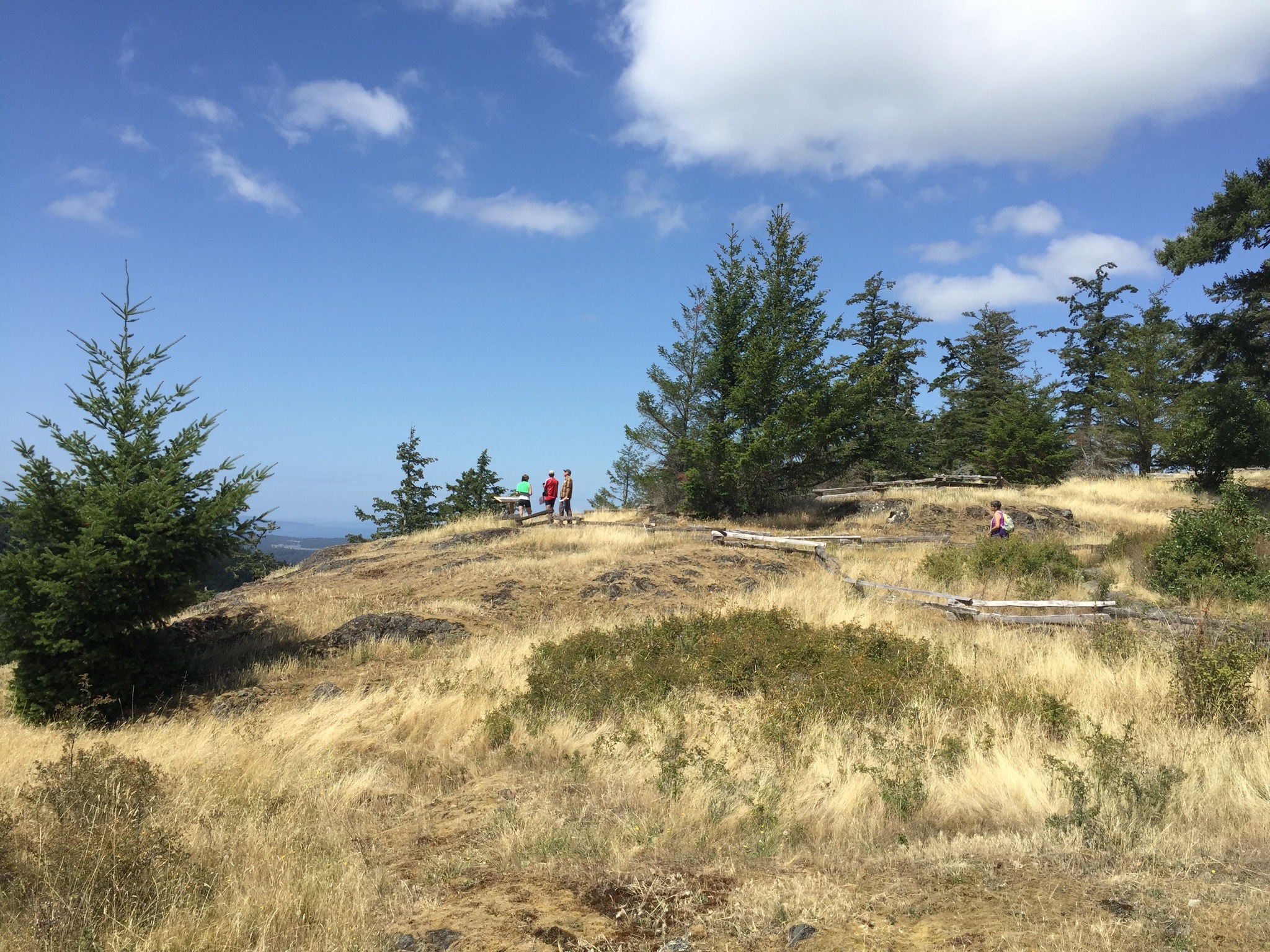
The 141-acres of old-growth Douglas firs and wildflower meadows now belong to the San Juan County Land Bank. The Preservation Trust has a conservation easement on the land, which allows the trust’s members to have a say on the area’s safekeeping.
It’s part of a deal the Land Bank — a county-wide, voter-created organization — and the Preservation Trust — a private nonprofit — created to purchase San Juan County land, together, for conservation.
In March 2015, the organizations split the land’s $3 million negotiated price. Land Bank officials used their one-percent tax on county real estate sales to pay, while the trust’s employees campaigned for private donations. The trust also included another million dollars for maintenance. The total cost of the campaign was $4.2 million.
“Mount Grant was the last undeveloped ridgeline in San Juan County,” said Lincoln Bormann, executive director of the San Juan County Land Bank.
That’s part of what makes Mount Grant special, said Bormann, as well as its access to additional watershed land for the Town of Friday Harbor and its accessibility.
“A lot of people think, ‘can I get there?’ But you can, by driving,” said Marie Skuffeeda, of Friday Habor, who was once an avid equestrian, but now uses a walker after a hip replacement, two years ago.
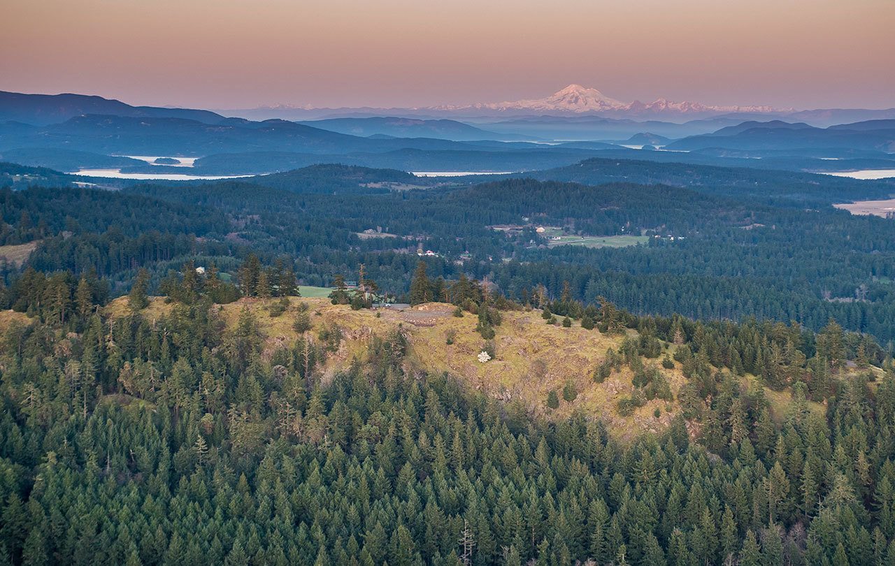
Skuffeeda plans to drive to the top, where there are 360-degree views of Mount Baker and the Cascade Range, San Juan Valley and Lopez Island, and north to the Canadian Gulf Islands. The road was built by the Lawson family for access to individual lots, subdivided in 2004 for a development on Mount Grant.
“You mean Lawson Ridge,” said Tommy Lawson to The Journal.
Lawson Ridge is what four generations of the Laswon family have called the land they owned. It’s where Lawson hiked, camped, hunted and often reached the top by horse, before the road was paved.
“I grew up my whole life on that ground up there,” said Lawson. “I still go. It’s part of my family heritage.”
That heritage includes developing areas like the Hillview Terrace neighborhood in Friday Harbor and Lawson Quarry, which Lawson still operates and owns. He also owns 24 acres west of the quarry and 110 acres north of Mount Grant.
It was no surprise when his dad converted the family’s ridge for development, but after his father passed, Lawson sold it for preservation instead.
“Giving it to the Land Bank and Preservation Trust was a good decision to make,” said Lawson. “The fact that it remains an open forest and the community can enjoy it, just sweetens the pot that much more.”
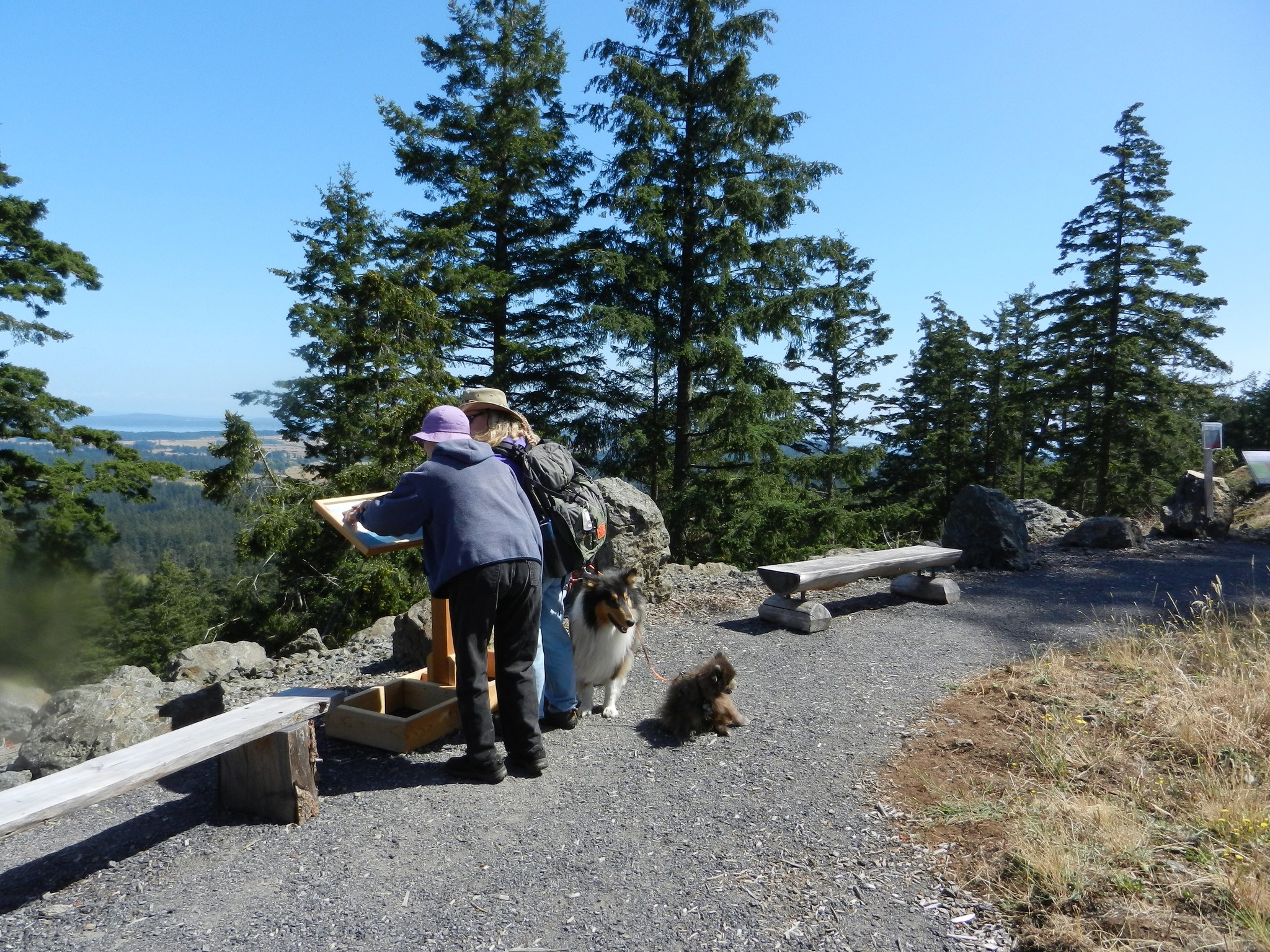
Now Land Bank officials will start plans to add amenities like trails, overlooks and a more established parking lot with the help of community input. They will also continue to publicize the island’s canopied treasure — a stark contrast from its many pastures.
“A lot of people had no idea there was property on this island with wildflower meadows and such spectacular views from every direction,” said Bormann.
The gate to the Mount Grant’s paved road is open from 9 a.m. to 4 p.m., Feb. 19. Mount Grant is located about five miles west of Friday Harbor, off West Valley Road. For information, call 378-2461 or visit sjpt.org/mountgrant.
Contributed photo/San Juan Preservation Trust staff archive
Contributed photo/San Juan Preservation Trust staff archive
