
Drones are added to orca protection zone
Published 1:14 pm Saturday, January 14, 2017


Most San Juan Islanders know vessels and aircraft can’t be within 200 yards of the Southern resident orcas, thanks to a state law adopted in 2008, but what about drones?
That’s the question San Juan County Prosecutor Randy Gaylord asked the Washington State Attorney General’s Office to clarify last spring.
The question originated from a case where a Mercer Island photographer was ticketed, in 2015 for flying a drone inside the 200-yard protection zone over orcas in Haro Strait.
“The case was dropped to ask for the attorney general’s opinion,” said Gaylord. “It’s a matter of clarification for this case and other cases.”
The attorney general’s opinion, released on Dec. 30, clarified that drones are part of the statute’s ambiguous term of “other objects” prohibited from entering the 200-yard protection zone.
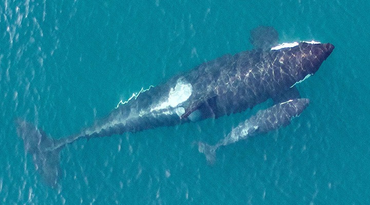
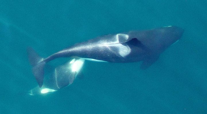
Research Director Deborah Giles for the Center for Whale Research can’t remember an instance when a drone injured or killed an orca, but that’s what the clarification will hopefully prevent.
“Drones are a new technology,” said Giles. “The legislature is trying to get a jump on it now before problems occur.”
The Federal Aviation Administration predicts there will be 7 million drones sold in the U.S. by 2020.
Orcas can see drones above them, said Giles. Drones could disturb the orcas, or even injure them if they crashed. The effect of drones on orcas in unknown, but research released last year showed drones caused increased stress levels among black bears.
“Imagine if there was no regulation over drones’ proximities to whales?” asked Giles. “I could easily see 10 drones out there at once.”
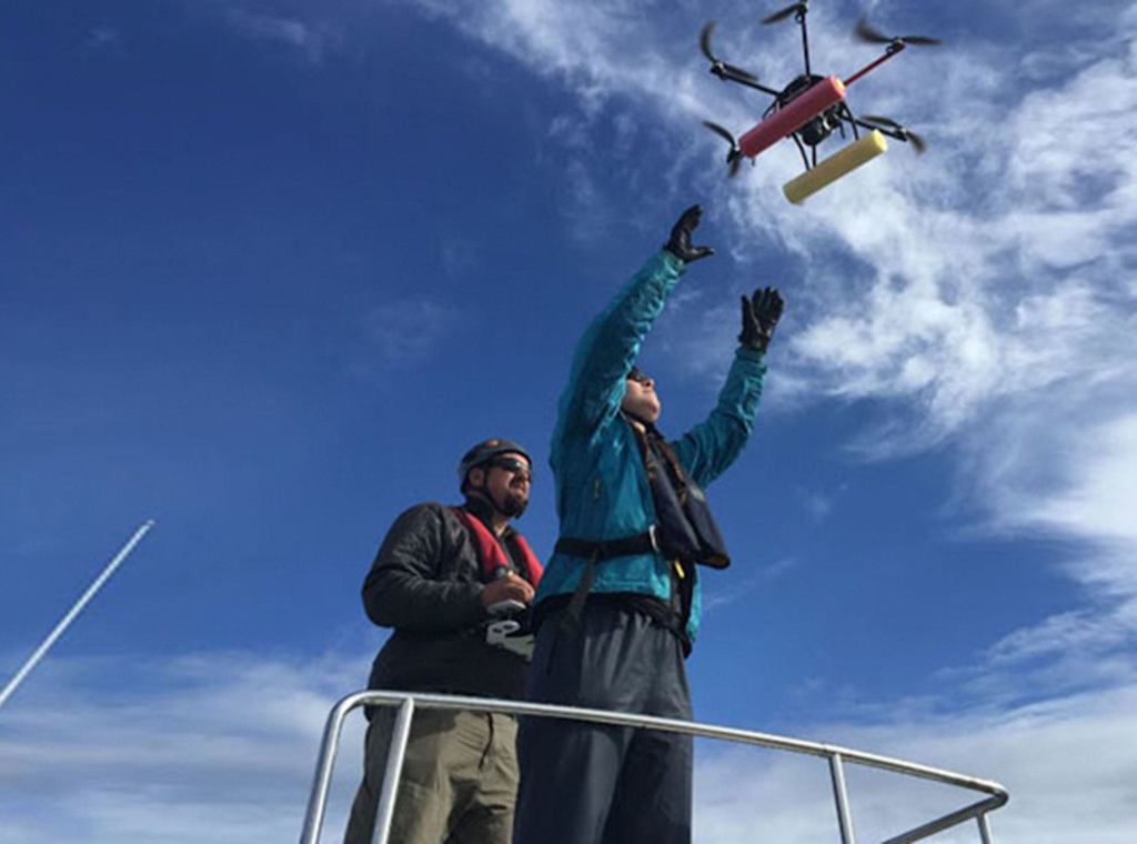
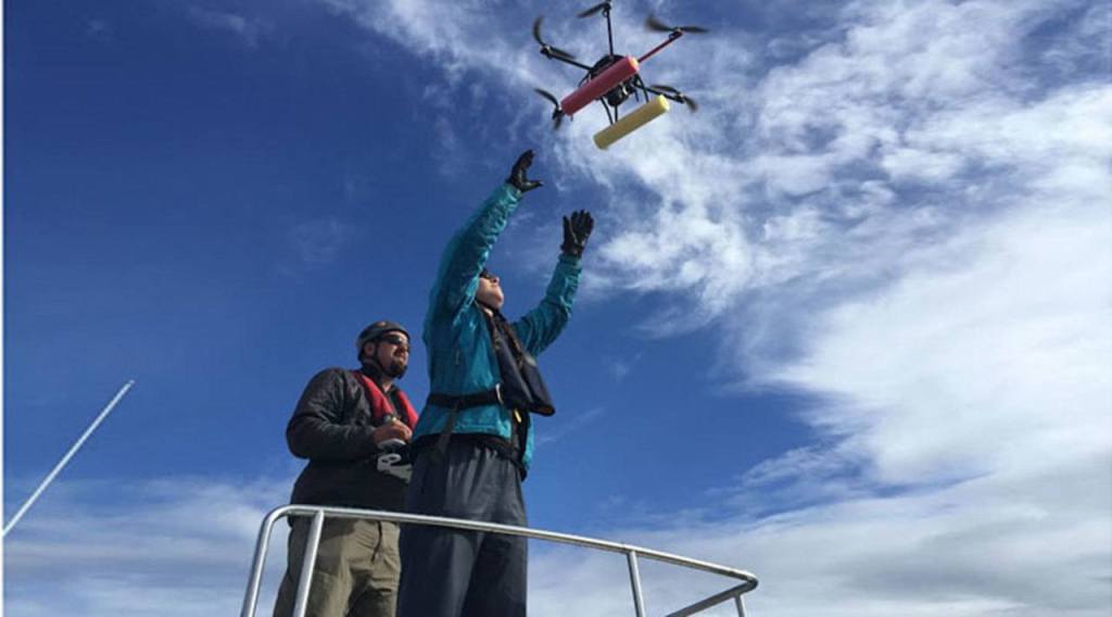
By spring, the center will use a federal permit to fly drones, 100 to 200 yards above the orcas for up-close photos for identification and research. Unlike the amateur drone enthusiasts, like the one ticketed in 2015, federally permitted drones are flown by licensed pilots, with restrictions on when and where they can be flown, said Giles.
The center already has a federal permit, which allows employees to swim closer than the allotted 200 yards to collect close-up photos or even orcas’ discarded food to determine where the fish were caught and how far orcas had traveled. A record of each time the center’s vessels surpass 200 yards is mandated by the government.
National Oceanic and Atmospheric Administration already uses drones for research, said Giles, for three weeks in May and another three in September.
A permit has been needed to fly a drone in a San Juan County park since last February.