
Submitted by the San Juan County Department of Emergency Management
After a very mild winter so far, a more active and much more wintry pattern is headed our way. While the specifics of the forecast are still uncertain, it is clear that:
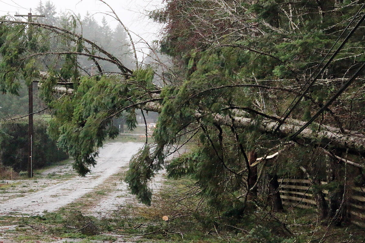
-Tuesday will be a very windy day in the islands, with gusts up to 65mph possible in some locations. Take a look at the OPALCO outage page (https://www.opalco.com/outages-safety/preparation/) for info on how to prepare and what to do if the power goes out.
-Starting Thursday, temperatures will drop dramatically and remain low at least through the weekend. Friday is looking like the coldest day, with lows around 12 likely, and maybe even hitting the single digits. Please check in on fellow islanders who may be unprepared or have difficulty staying warm. For tips on preventing frozen pipes, check out this info from the Eastsound Water Users Association at https://www.sanjuancountywa.gov/DocumentCenter/View/27515/EWUA-Winter-Storms-and-Your-Water-Service.
-There’s some possibility of snow, a slight chance on Thursday, and maybe a few inches on Friday (though remember, the forecast can and likely will change!). Main thing is to just be prepared for a bout of our usual winter weather. For a winter weather refresher, check out: https://www.islandsready.org/winter.
Just as the islands usually see some hot weather in the summer, they usually see some cold weather in the winter. Common sense, self-sufficiency, and a cooperative spirit will see us through just fine. Being prepared does not need to be complicated or expensive and just as important as taking care of ourselves is taking care of those who might need a little help with getting ready. Preparedness is the island way!
